The James Race Bursary & the Age of 'Digital First'
Simon Webb tells how he put his 2026 Bursary to good use

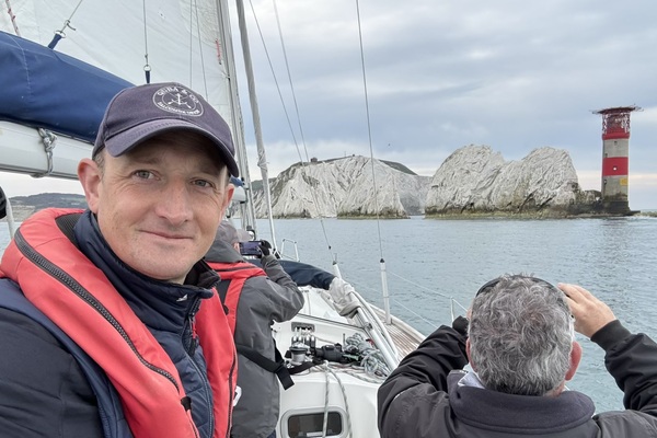
I was very grateful to have been awarded the James Race Bursary, which enabled me to recently attend and pass the RYA Coastal Skipper Practical course. One thing that was very apparent throughout the course was how the RYA’s instructional approach is evolving quickly towards ‘digital first’.
Having passed my Yachtmaster shore-based theory course, I had built confidence in my ability to apply the traditional paper-based navigation and planning techniques. Consequently, I had arrived at the course armed with pre-prepared printed templates for calculating set and rate, with aide-memoirs and well-practised methods for calculating tidal heights and times for secondary ports. I didn’t use them once during the course.
Instead, we were positively encouraged to use our smartphone apps, tablets and chartplotter to do all the planning and navigation for us. Once we had verified the digital information against a paper source, the digital solution was trusted and that was us. No drawing out a crocodile’s mouth to interpolate secondary port tidal heights and times – just a quick look at the app and off we’d go.
The instructor was keen to encourage our confidence in the data and use this to push the boundaries of what we might otherwise choose to safely navigate. We were challenged to anchor as close to the shore as the tidal chart and depth sounder would allow. We used the inner swashway into Portsmouth when the tidal curve (on the app of course – digital first) said that it was safe to do so, rather than using the ‘are the teeth showing on the footings of Fort Blockhouse?’. We quickly punched in waypoints and routes to the chartplotter to calculate distances and ETAs and to formulate our passage plans.
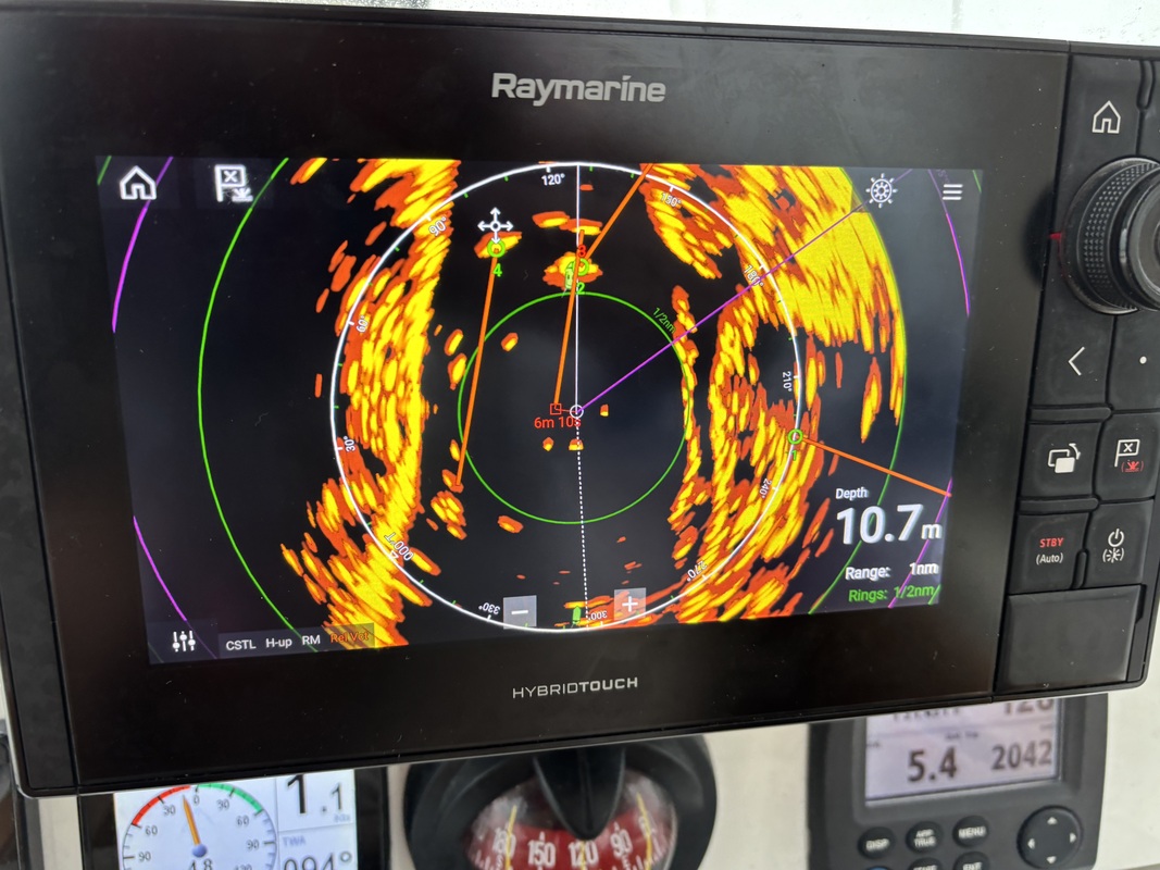
Beyond simply ticking off the practical course syllabus, we spent a lot of time experimenting with the radar – something I hadn’t used before – which could be overlaid on the chartplotter, as well as displaying AIS tracking. This new-found knowledge was particularly welcomed on the last day, when we found ourselves heading homeward in fog and restricted visibility - the benefits of radar were reassuringly evident.
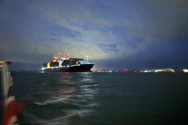
One exercise, the ‘take us to this location’ at night, marked a sharp diversion from the digital first approach. The cover was quickly placed over the chartplotter as it was declared ‘unavailable’. Transit lines between lit buoys became the navigational method of choice, whilst using intersecting bearings off distant buoys or land-based lights to confirm where we were along the transit. It served as a useful reminder that we still need the traditional methods when the digital suddenly fails (whether instructor-instigated or not).
The RYA is clear that ‘digital first’ doesn’t mean ‘digital only’ or ‘digital always’. The challenge will be avoiding the inevitable tendency to over-rely on its ease and efficiency, and consequently under-practise the traditional methods, leaving us short when we need them.
Whilst I found this digital first approach a significant contrast to the theory course, the one clear advantage I did notice is how much this speeds up the planning and navigation – allowing you to spend more time on the actual doing on the practical course. Ultimately for all of us, this means more time enjoying the sailing – something we can all appreciate.
I never met James Race, but I would be interested to know what he might have thought about the shift to adopting digital first. Would he have seen it as the inevitable onward march of technology, or another threat to the survival of our knowledge-base of tried and tested traditional methods?
My thanks again to the James Race Bursary. It’s a fantastic gesture by the club to continue supporting its Members' development.